Reading time: 5 minutes
All image credit: Jimmy Dau
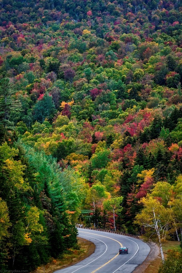
There is no better place in America to catch the transitioning Autumn colours on the east coast than throughout New England region. The concentration of Red Maples, combined with mountainous terrain and evening frosts during September to early October, sees an explosion of warmer tones that will reach as far south as North Carolina.
There's no better way to see this colour than by the road, and there is also nothing better way than the great American road trip. Whether it's across Route 66 or along the Big Sur in California, Americans love to jump in their car and explore the great outdoors. Here is a simple itinerary on the best scenic views, with a few hikes mixed in to add that sense of adventure.
Fly into Boston
The best place to start the trip is in Boston in Massachusetts. Boston is a major international airport, servicing all major domestic and international flights. It is also the best airport to fly into if you want to find the cheapest flights. I find that Skyscanner and Google Flights are the best sites to compare thousands of fare options. Also, at Boston Airport, are the most number of car rental companies, resulting in competitive pricing.
The Route
The recommended route starts along the coast and loops across four states: Maine, New Hampshire, Vermont and Massachusetts. It may sound like a lot, but the states in New England are a lot smaller than that of Australia. The coastal drive
Head up along the i95 highway coastline, a major interstate road along the east coast. Along this route you'll cross some smaller port villages such as: Newbury, Hampton and Portsmouth, that are popular summer destinations. However, during autumn, the numbers are few.
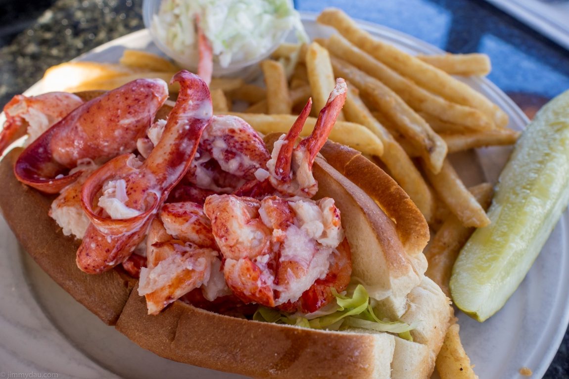
Make your first pit stop into York at the Lobster Cove and enjoy a giant lobster roll; where $14 will score you a sizeable lobster roll and a side of coleslaw and fries.
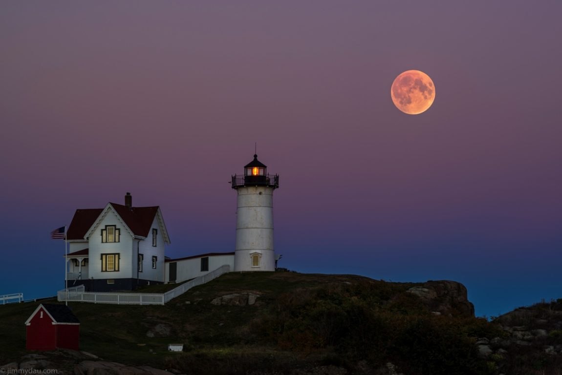
Nearby is also the Nubble Light House which was constructed in 1879 and is still in operation. It's just as impressive as the seaside homes that line the shores and a great location for seaside photographs.
Into New Hampshire
After taking in the sounds and the scent of the sea, head back down the i95 highway for another 20km until you reach Highway 16 in Portsmouth, New Hampshire. From there, it's under a two hour drive to Conway.
Conway is a popular spot, located at the southern entrance to the White Mountain ranges. It is also popular amongst rock climbers, who come to scale Cathedral Ledge. It's only a short drive up the the top of Cathedral Ledge where you can have views overlooking the town and beyond. If there are rock climbers on the face, you can see the ascend at the summit as well.
There is plenty of accommodation in Conway should you choose to stay the evening. A great place to dine at in the evening is Thai Nakon Ping, an authentic Thai restaurant. Strangely enough, the drunken noodles are amongst the best that I've had anywhere.
If you can manage to wake up early the following morning, check out Echo Lake, which is a ten minute drive away. It's one of the most captivating sites when there is not a breath of wind and the mountain reflections on the lake peek through the morning mist suspended above the still waters.
Time for some mountain fun
Conway is at the Southern end of the Presidential Range, which is a series a interconnected mountains that are named after 18th and 19th Century United States Presidents. It's possible to spend days, exploring the range itself, but for times sake, the best route is through the Crawford
Notch along Highway 302 which connects from Highway 16 out of Conway. As you drive through the valley, you'll be flanked on both sides by the impressive mountain ranges that offer many options for hiking and camping.
If waterfalls are your thing then Arethusa Falls is a perfect hike just off Highway 302. A 2.5km hike from the carpark along a moderately difficult trail will take you to the second tallest waterfall in the region.
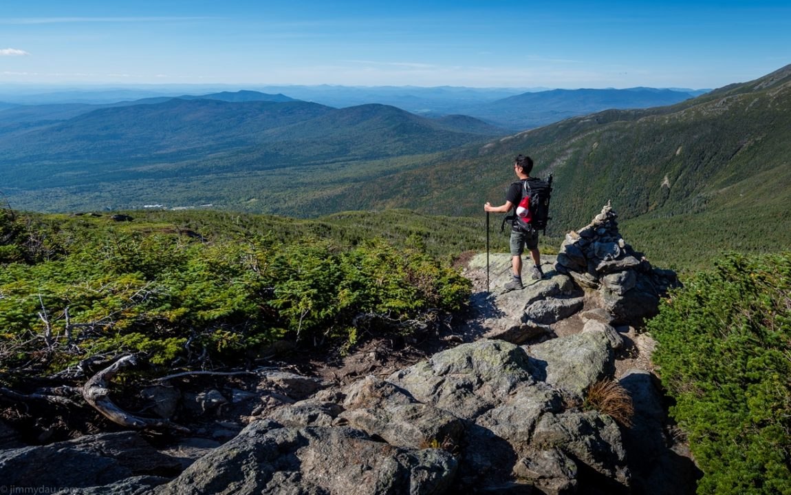
For the best panorama views of the presidential ranges, stop at the Mount Washington Cog Railway where you have to option to catch the steam engine train up to the top of Mount Washington. If you have the energy, it is also possible to hike the 4,000 foot vertical trail that will take four hours to reach the top.
Into Vermont and peak foliage
Approximately six miles from Mount Washington Cog Railway along Highway 302, take Highway 3 into Vermont into Northern Vermont. Be sure to stop into the visitor centre as there's coffee, water (by donation), WiFi and a resource of information to make your stay in Vermont much easier.
Turn off into Highway 105 into Newport and where Highway 100 commences. Highway 100 is the area that reaches peak foliage the earliest in the region. Continue along Highway 100, following the foliage along the rolling hills and into Stowe.
For a great sunset lookout in Stowe, head to Sunset Point just north of the town, with views overlooking the main road in town. For a great value dinner, head to Rimrocks Mountain Tavern where they serve cheap sandwiches and free Wifi. One sandwich is large enough to share between two.
Chasing waterfalls
Ten minutes just north of Stowe is Moss Glen waterfalls. Unlike Arethusa Falls, this waterfall is less than a five minute hike on flat ground from the carpark. It's one of the nicer falls in Vermont, with a hiking trail that allow you to see the falls from above. Keep walking another ten minutes and then you'll find some nice streams running through what seem like an enchanted forest.
The road back to Boston.
No trip to Vermont is complete without a stop at the capital of Montpelier; in fact, it is the smallest state capital in the United States in terms of population and is the perfect place to pick up a coffee and local Maple Syrup products. Capitol Grounds Cafe offers free WiFi as well as proper brewed coffees and baked items to keep you fuelled for the three hour drive back to Boston.
